Arctic
Aberdeen Plains
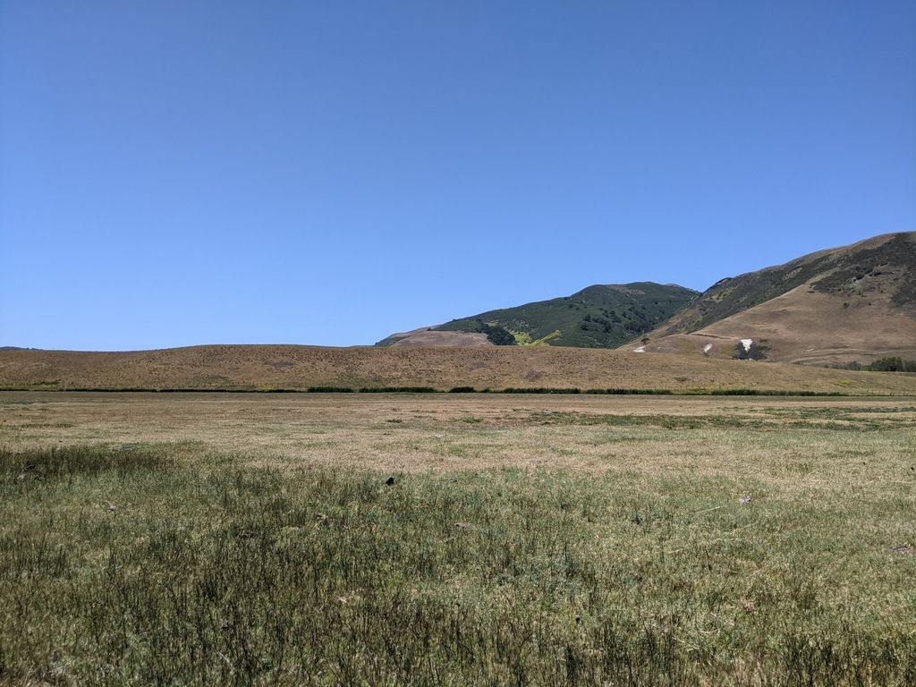
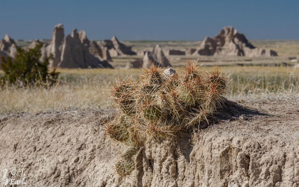
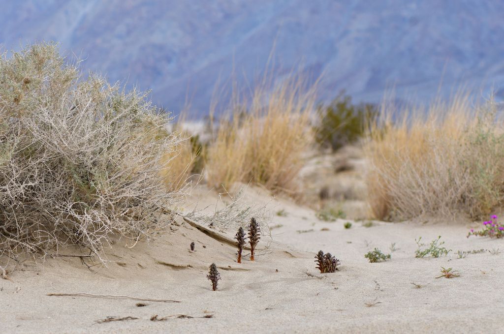
Aberdeen Plains is a northern plains ecoregion where the growing season is short and conditions can be harsh for gardening.
View profile
Explore regional pollinator profiles, climate notes, and the plants and species most important to each area.
182 regions found
Filters apply automatically
Aberdeen Plains is a northern plains ecoregion where the growing season is short and conditions can be harsh for gardening.
The Abitibi Plains and Riviere Rupert Plateau is largely defined by boreal forest, wetlands, and extensive freshwater networks.
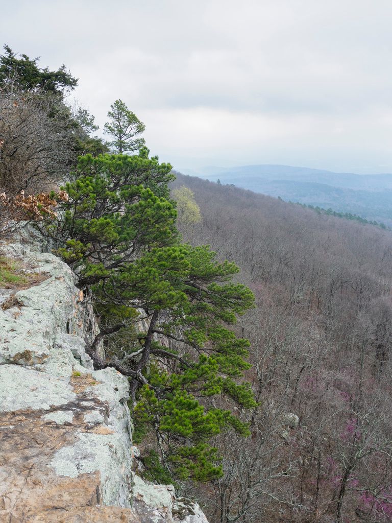
The Ahklun and Kilbuck Mountains are a rugged, high-relief landscape where plants and pollinators must make the most of a short, often cool season.
The Alaska Peninsula Mountains are a rugged, coastal-influenced mountain region where conditions can be challenging for traditional gardening.
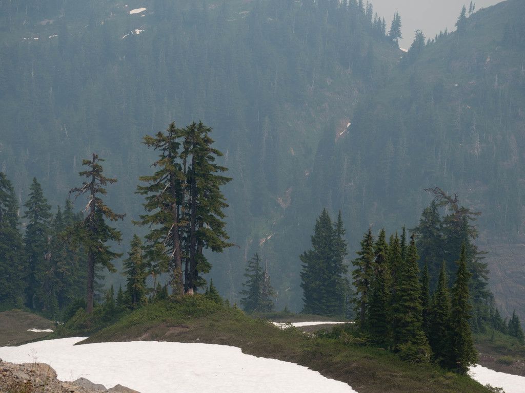
The Alaska Range is a high, cold mountain landscape where plants and pollinators must make the most of a short summer.
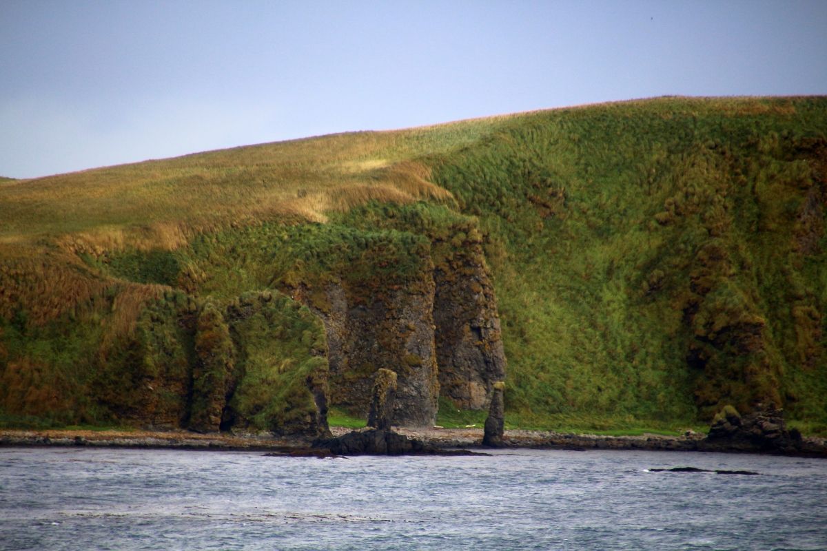
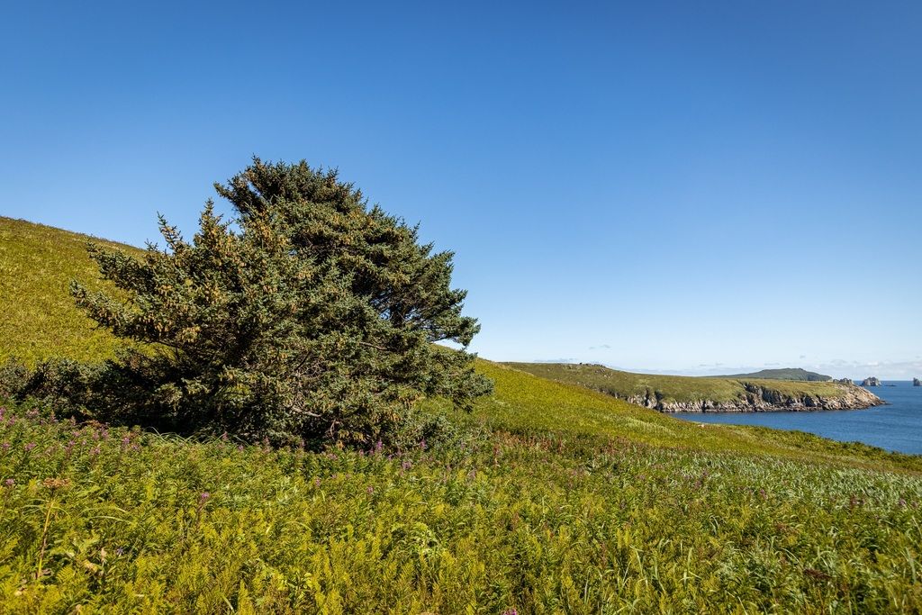
The Aleutian Islands are a maritime, wind-shaped island chain with short, challenging growing conditions and many exposed sites.
Algonquin/Southern Laurentians is a forest-and-water landscape where many pollinators rely on sunny edges, openings, wetlands, and flowering understories rather than deep shade.
The Amundsen Plains are a northern Arctic plains region where the growing season is short and conditions are tough for typical home gardening.
The Arctic Coastal Plain is a tundra region where plants grow low to the ground and the flowering season is brief.
The Arctic Foothills are a rugged transition zone where tundra landscapes meet rising hills and mountain fronts.
The Arizona/New Mexico Mountains are a “sky-island” style landscape: cooler, higher, and often greener than the surrounding lowlands.
The Arizona/New Mexico Plateau is a dry, high-country landscape where plants and pollinators are adapted to tough conditions—sun, wind, and long dry stretches.
The Arkansas Valley is a river-influenced landscape where soils, moisture, and sun exposure can change quickly from one spot to the next.
The Aspen Parkland/Northern Glaciated Plains is a “mosaic” landscape—open grassland mixed with aspen groves, wetlands, and edges where habitats meet.
Athabasca Plain and Churchill River Upland is a northern, boreal-leaning landscape where forests, wetlands, and river systems shape what can grow and when it blooms.
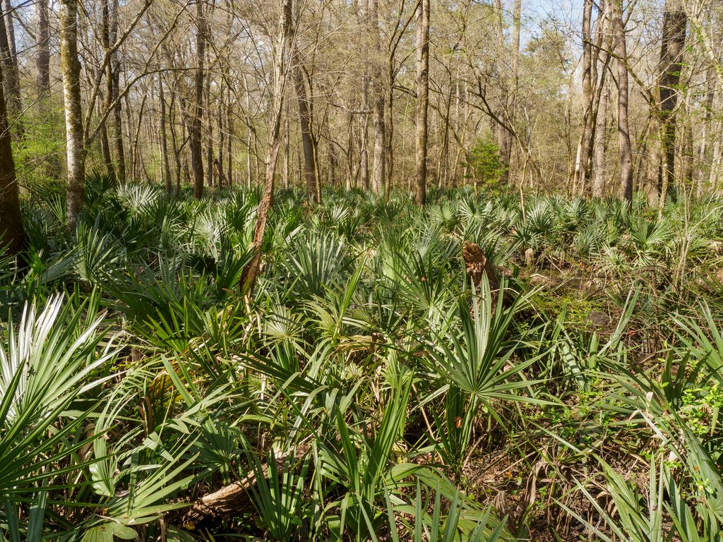
Atlantic Coastal Pine Barrens are often defined by sandy soils, open sunny patches, and a mix of pine-dominated areas, shrublands, and wetland edges.
The Baffin and Torngat Mountains are a dramatic Arctic mountain region where life is adapted to cold, wind, and a very short season for growth.
The Baffin Uplands are a High Arctic ecoregion where plants grow slowly and stay low, and where “garden-style” pollinator planting is often not practical.
The Baja California Desert is a warm-desert region where life is adapted to drought, heat, and big swings in how much rain falls from year to year.
This region is a tropical dry-forest landscape shaped by strong seasonality—longer dry stretches and a greener, more productive period when rains arrive.
Banks Island and the Amundsen Gulf Lowlands are part of the Northern Arctic, where plants and insects must survive extreme cold, wind, and a very short season for growth and flowering.
The Blue Mountains are a varied mountain-and-valley landscape where forests, meadows, and river corridors can sit close together.
The Blue Ridge is a forested mountain region with big changes in sun, shade, moisture, and temperature over short distances.
The Boston Mountains ecoregion is a mostly forested landscape of ridges, slopes, and stream valleys.
The Bristol Bay–Nushagak Lowlands are tundra-leaning lowlands where wetlands, river corridors, and coastal conditions shape what can grow.
The Brooks Range/Richardson Mountains ecoregion is a high-latitude mountain tundra landscape where plants grow low to the ground and the season for flowers can be brief.
The California Central Coast is a patchwork of ocean-edge bluffs, valleys, oak woodlands, chaparral, and coastal mountain habitats.
The California Central Valley is a wide, mostly flat interior valley with big rivers, working farms, and growing cities.
The Mojave is a warm-desert region where life is shaped by limited water, intense sun, and big temperature swings.
The California Southern Coast is a Mediterranean-climate coastal region where many plants are adapted to wet seasons followed by long dry stretches.
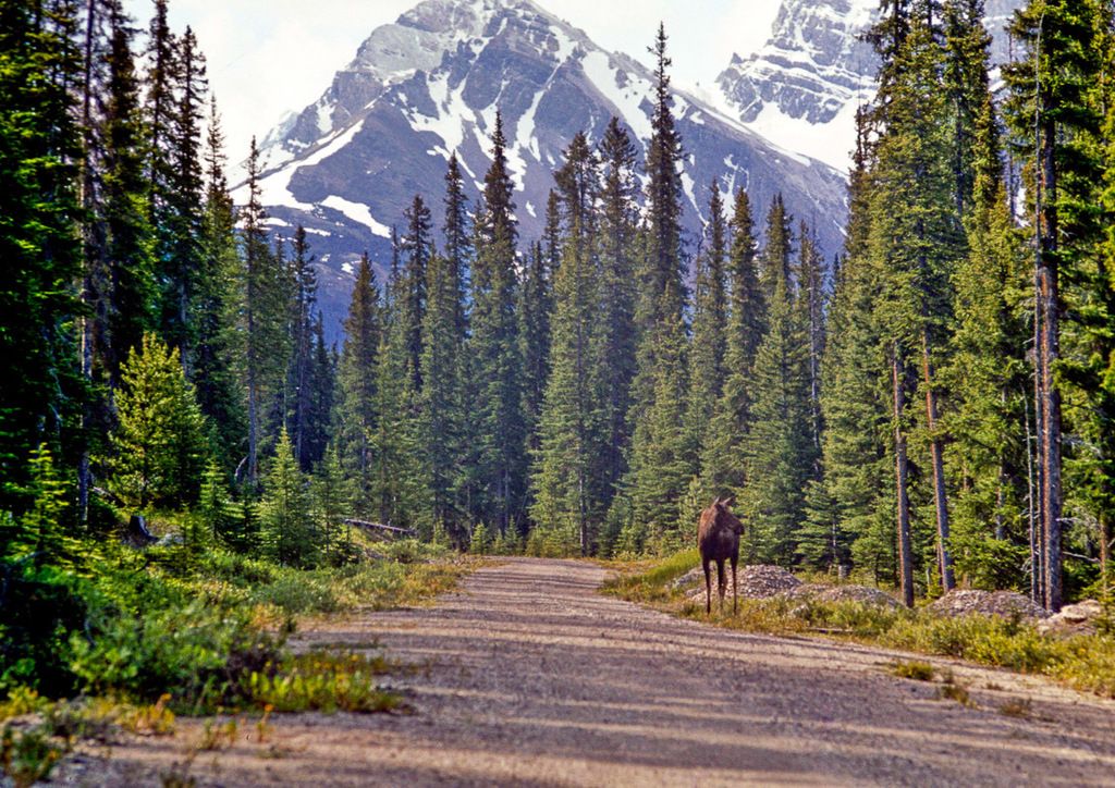
The Canadian Rockies are a rugged mountain region with big elevation changes, cold winters, and pockets of warmer, sunnier valley habitat.
The Cascades ecoregion is defined by mountains, forests, and dramatic “up-and-down” terrain that creates many local growing conditions.
This region is defined by Central American mountain forests where conifers and oaks can be major features, alongside mixed forest communities.
This ecoregion is part of the Southern Arctic, where plants and pollinators must make the most of a short, intense growing season.
The Central Appalachians are largely forested, with a patchwork of sunny edges, meadows, roadsides, and stream corridors where flowers can thrive.
The Central Basin and Range is a wide-open landscape of desert basins and mountain ranges, where water and shade strongly shape what can grow.
The Central Corn Belt Plains is a plains ecoregion where much of the land has been shaped by farming and settlement, but pollinator habitat can still be created in yards, school grounds, parks, field edges, and community spaces.
The Central Great Plains is a prairie-focused ecoregion where grasses and wildflowers can thrive when matched to local moisture and soil conditions.
This ecoregion sits within the Temperate Prairies and is often associated with open landscapes, grassland-leaning plant communities, and human-shaped land use.
The Central Laurentians and Mecatina Plateau is typically a softwood-shield region with forests, bogs/fens, rocky openings, and water-rich landscapes.
This region is a tropical dry-forest landscape where plants and animals are adapted to pronounced seasonal dryness.
This region is a highland landscape shaped by mountains and forests—often a mix of conifers and oaks—with many “microclimates” created by elevation and terrain.
The Chihuahuan Desert is a place of extremes: dry stretches, sudden flushes of bloom after moisture, and a patchwork of habitats shaped by elevation and water.
The Chilcotin Ranges and Fraser Plateau includes a patchwork of plateaus, forests, grass-leaning openings, and river corridors.
Clear Hills and Western Alberta Uplands is a boreal upland landscape where forests, wet areas, and stream corridors shape what can grow.
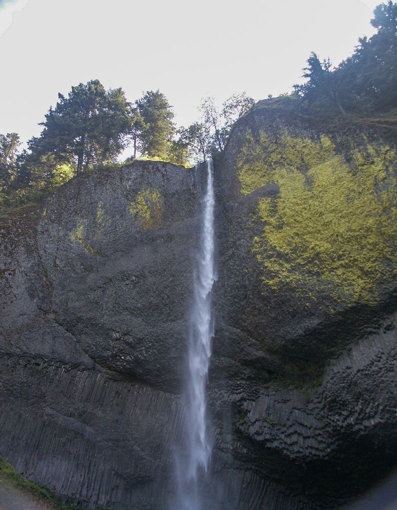
The Coast Range is a coastal mountain landscape shaped by steep terrain, forested slopes, and valleys.
The Coastal Hudson Bay Lowland is a cold, flat coastal region where wet ground and a short summer shape what can grow.
This ecoregion is shaped by tropical wet evergreen forests and wetlands across coastal plains and nearby hills.
Coastal Plain with Low Tropical Deciduous Forest is a tropical coastal lowland landscape where plants are adapted to seasonal dryness.
Coastal Western Hemlock–Sitka Spruce forests are evergreen, moisture-loving coastal forests with deep shade in many places and brighter “edge” habitats where sunlight reaches the ground.
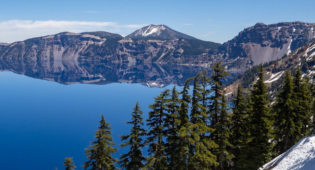
The Colorado Plateaus are a “cold desert” region where plants and animals are adapted to drought, intense sun, and variable temperatures.
The Columbia Mountains/Northern Rockies region is a landscape of big elevation changes—forests, meadows, and river corridors stitched between steep slopes and high ridgelines.
The Columbia Plateau is a “cold desert” ecoregion where water-wise plants and tough, sun-loving habitats are common.
Cook Inlet is a coastal region where ocean air, river corridors, and nearby mountains create many small “pockets” of growing conditions.
Copper Plateau is a boreal-cordillera plateau region where plants and pollinators often have a narrow window to grow, bloom, and reproduce.
The Coppermine River and Tazin Lake Uplands sit within the Taiga Shield, where rock, water, and boreal vegetation shape what can grow.
Cross Timbers landscapes are known for their mix of open grassland and tough, drought-tolerant woodland—especially along edges where sunlight and shelter meet.
Cypress Upland landscapes are shaped by elevation, exposure, and patchy moisture—meaning one yard can be quite different from another just a short distance away.
The Driftless Area’s hills, bluffs, and river valleys create a patchwork of sunny slopes, shaded woods, and river-side edges—great variety for pollinator habitat when native plants are present.
The East Central Texas Plains are often a patchwork of open sunny spaces and scattered trees, with seasonal wildflowers when conditions line up.
The Eastern Cascades Slopes and Foothills are a transition zone: mountain-influenced landscapes that often lean dry, with big differences from one hillside or creek corridor to the next.
The Eastern Corn Belt Plains is a working landscape where farms, towns, roads, and remaining natural areas sit side-by-side.
This region includes a wide range of “everyday” places—yards, school grounds, parks, shorelines, and wet areas—where small habitat improvements can add up.
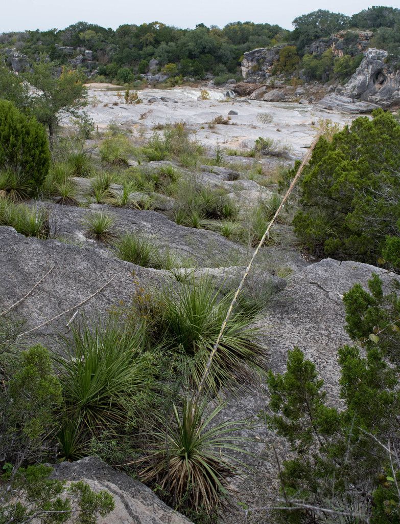
The Edwards Plateau is an upland landscape where water can be the limiting factor for plants and pollinators, especially away from streams and springs.
This ecoregion is primarily permanent ice and snow, with little to no practical space for gardening or planting pollinator habitat on the ice caps themselves.
The Ellesmere Mountains and Eureka Hills are an extreme Arctic landscape where plants grow slowly and flowering opportunities are limited.
The Erie Drift Plain is a glaciated lowland region where soils and landforms often support productive plant growth when space is available.
The Flint Hills are a prairie landscape where grasses and wildflowers can form large, connected habitats when managed well.
Foxe Uplands is a Northern Arctic ecoregion where the environment is tough on plants: cold, wind, and a short growing season make typical “pollinator gardening” difficult in many places.
The Great Bear Plains is a taiga-plains landscape where water, soil, and exposure strongly shape what can grow.
This Northern Arctic plains ecoregion is defined by cold temperatures, short summers, and landscapes where plants grow low to the ground.
This region is defined by water: wetlands, wet soils, and lush tropical rain forest conditions in parts of the Gulf coastal plain.
The Hay and Slave River Lowlands are a northern lowland landscape where rivers and wetlands strongly shape what can grow.
Hayes River Upland and Big Trout Lake sits in the boreal “softwood shield” world of conifers, water, and wetlands.
The High Plains are grassland-focused landscapes where water can be the main limiting factor for gardening.
This region is a dryland landscape of interior plains and low hills where plants are adapted to heat, drought, and variable rainfall.
This region is a mosaic of tropical deciduous forest and oak forest across hills and sierras, creating many “edge” habitats where different plant communities meet.
This region is a mosaic of conifer forest, oak woodland, and mixed stands, often broken up by meadows, rocky openings, and forest edges.
This region is defined by tropical wet-forest conditions on hilly terrain, where semi-evergreen forests can create a layered habitat of canopy, understory, and forest-edge flowering plants.
Hills with Medium and High Evergreen Tropical Forest is a wet tropical forest landscape shaped by slopes, valleys, and dense evergreen tree cover.
The Hudson Bay and Hames Lowlands are defined by wide-open lowlands and large wetland landscapes.
The Huron/Erie Lake Plains are generally low, lake-influenced landscapes where gardens, parks, roadsides, and remaining natural areas can all play a role in supporting pollinators.
The Idaho Batholith ecoregion is a rugged, mountainous landscape where forests, meadows, and river corridors create a patchwork of habitats.
Interior Bottomlands are low-lying parts of Alaska’s boreal interior where water and soils often shape what can grow.
Interior Forested Lowlands and Uplands is a boreal interior landscape where forests, wetlands, and river corridors create pockets of flowering habitat.
Interior Highlands and Klondike Plateau is a northern inland region where elevation, slope direction, and river valleys create many “small zones” for plants.
This region is generally shaped by open grasslands and drought-tolerant shrub communities, with greener pockets where water collects.
The Interior Plateau is an inland, upland-style part of the Southeastern USA Plains where soils, sun exposure, and moisture can vary a lot across short distances.
Interior river valleys and hills often have a “patchwork” feel: sunny openings, wooded edges, and river-side areas that stay greener longer.
This region is characterized by hills and plains that can support medium semi-evergreen tropical forest—green for much of the year, but still influenced by seasonal moisture.
Kazan Rvier and Selwyn Lake Uplands is a northern taiga-shield landscape of rock, water, and hardy vegetation.
The Klamath Mountains are a complex, mountainous landscape where forests, rocky openings, and river corridors create many different growing conditions close together.
La Grande Hills and the New Quebec Central Plateau are part of the Taiga Shield—often rocky, lake-rich, and shaped by cold-season conditions.
La Laguna Mountains with Oak and Conifer Forests is a mountain ecoregion where oak woodlands and conifer forests create layered habitat—trees overhead, shrubs and wildflowers below, and leaf litter and soil life underneath.
The Lake Erie Lowland is a Great Lakes lowland landscape where people live, garden, and farm alongside pockets of natural habitat.
Lake Manitoba and the Lake Agassiz Plain sit within the Temperate Prairies and are defined by flat former lakebed landscapes, wetlands, and open country.
Lake Nipigon and Lac Seul Upland is a lake-and-forest shield region where conifer-dominated woods, wetlands, and rocky openings create a patchwork of habitats.
The Lancaster and Borden Peninsula Plateaus are part of the Northern Arctic, where cold, wind, and a short growing season limit how much flowering habitat can develop.
This region is a mix of dry-season tropical woodland (often leafless in the driest months) and hardy shrubland adapted to limited moisture.
Los Tuxtlas Sierra with High Evergreen Tropical Forest is a lush, moisture-rich tropical forest landscape shaped by mountains, steep slopes, and dense evergreen canopy.
The Lower Mainland & Puget Lowland is a busy, people-centered coastal lowland with rivers, shorelines, and patches of forest and meadow.
The Mackenzie and Selwyn Mountains are a high-latitude mountain landscape where plants and pollinators must make the most of a short warm season.
The Madrean Archipelago is known for its patchwork of habitats created by mountains separated by lower, drier areas.
The Maine/New Brunswick Plains and Hills region is shaped by mixed wood forests, open edges, wetlands, and human-made landscapes like yards, roadsides, and farms.
The Maritime Lowlands are generally low, coastal-influenced landscapes where forests, wetlands, and human-settled areas sit close together.
The Mid-Boreal Lowland and Interlake Plains is a boreal-plain landscape where forests and wetlands shape what can grow and when flowers appear.
Mid-Boreal Uplands and Peac-Wabaska Lowlands is a boreal-plain region where forests, wetlands, and open edges create a patchwork of habitats.
The Middle Atlantic Coastal Plain is a mostly low, water-influenced landscape where sandy soils, wetlands, and river systems shape what grows well.
The Middle Rockies are defined by rugged terrain, big elevation changes, and many “pockets” of different growing conditions.
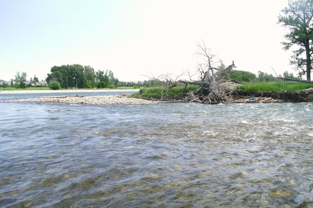
The Mississippi Alluvial Plain is a wide, fertile river-made landscape with wetlands, oxbows, bayous, and bottomland habitats where they remain.

The Mississippi Valley Loess Plains are shaped by loess soils that can support rich plant communities when managed well.
This region is generally a warm, seasonally dry-to-wet tropical landscape where plants may be adapted to drought, heat, and periodic rains.
The Nebraska Sand Hills are a distinctive prairie landscape: sandy soils, rolling dunes, and wide-open skies, with wetter pockets in low areas.
Newfoundland Island includes a mix of coastal landscapes, conifer-dominated forests, wetlands, and open barrens.
The North Cascades are defined by big elevation changes, forested slopes, and river valleys that create many small habitat pockets.
The North Central Appalachians are known for forested hills, stream corridors, and a patchwork of openings where wildflowers can thrive.
North Central Hardwood Forests are known for mixed, mature-looking woodlands, forest edges, and a patchwork of wetlands and waterways across a populated region.
The Northeastern Coastal Zone is shaped by ocean influence—salt air, shifting winds, and a patchwork of wetlands, forests, and human-built areas.
The Northern Appalachian Plateau and Uplands is a landscape of forested uplands, wet pockets, and stream and river corridors.
This region is a patchwork of forested mountains and uplands, with streams, wetlands, and openings that can be surprisingly rich in wildflowers.
Northern Basin and Range landscapes are shaped by open basins, rugged ranges, and hardy native plants that can handle cold winters and dry stretches.
Northern Lakes and Forests is a lake-rich, forested shield landscape where native wildflowers often thrive in sunny openings, shorelines, and edges rather than deep shade.
Northern Minnesota Wetlands are defined by water: saturated soils, standing water, and plant communities adapted to wet conditions.
The Northern Piedmont is a patchwork of wooded areas, stream corridors, and developed land, which can create many small opportunities for pollinator habitat—yards, school grounds, parks, and even balcony containers.
The Northwestern Glaciated Plains are open, prairie-like landscapes influenced by glacial history—think broad skies, grasses, and pockets of wetter ground where water collects.
The Northwestern Great Plains is a grassland region where native plants are adapted to sun, wind, and periodic dryness.
This region is a tropical dry-forest landscape where many plants time their flowering and leaf growth around the wet season.
The Oglivie Mountains ecoregion is a cold, mountainous part of the Taiga Cordillera where plant life is shaped by short summers, elevation, and shelter from wind.
The Ouachita Mountains ecoregion is a ridge-and-valley landscape where forests, openings, and stream edges create many “small habitats” close together.
The Ozark Highlands are a patchwork of forests, woodland edges, open sunny areas, and stream corridors.
The Pacific and Nass Ranges are a mountainous part of Canada’s Marine West Coast Forest, shaped by steep terrain, river valleys, and coastal-influenced weather.
The Pacific Coastal Mountains are known for rugged terrain and forested landscapes influenced by the nearby ocean.
The Parry Islands Plateau is a Northern Arctic ecoregion where cold, wind, and a short growing season make gardening and long-season blooms difficult in many places.
The Peel River and Nahanni Plateaus ecoregion is a northern landscape of broad uplands, river-cut valleys, and hardy vegetation adapted to cold conditions.
The Piedmont is a region of rolling hills, creeks, and a patchwork of forests, fields, and neighborhoods.
This region blends open grasslands and dry shrublands with pockets of oak and conifer forest—so pollinator habitat can look very different from one hillside to the next.
This region is characterized by tropical plains with forests that can look greener in the wet season and more open in the dry season as some trees shed leaves.
This region is a tropical wet-forest plain with dense plant growth, layered canopy, and many flowering trees, shrubs, and understory plants.
This ecoregion is an Arctic lowland landscape where the season for flowering plants is short and highly weather-dependent.
Ridge and Valley landscapes create many “mini-habitats,” which can be great for pollinators when there’s a steady supply of flowers and safe nesting spots.
The Seward Peninsula sits within Alaska’s tundra ecoregions, where the growing season is short and conditions can be tough for conventional gardening.
This is a mountainous forest-and-woodland region where pines and other conifers mix with many oaks and a wide variety of understory plants.
This region is a mountainous mosaic of conifer stands, oak forests, and mixed woodlands—often with sunny openings, forest edges, and stream corridors that can be especially important for flowers.
The Sierra Nevada is a mountain region with a wide range of habitats—from foothill woodlands to conifer forests to high-elevation meadows.
This is a highland forest region where conifers, oaks, and mixed forests create a patchwork of habitats.
This region is a set of temperate mountain landscapes where conifer, oak, and mixed forests create layered habitat—from sunny edges and clearings to shaded understories.
This region is a mix of dry shrublands and low tropical deciduous forest shaped by hills, canyons, and seasonal water.
This region combines tropical dry-forest vegetation (often low and thorny) with wetlands and other water-influenced habitats on a coastal plain.
This is a Western Cordillera mountain region where forests, rivers, and open sunny edges create pockets of pollinator habitat.
Smallwood Uplands is a northern taiga-shield landscape where water, rock, and forest shape what plants can thrive.
The Snake River Plain is an open, often dry landscape where water availability strongly shapes what can grow.
The Sonoran Desert is a place of extremes: intense sun, long dry stretches, and bursts of life when rains arrive.
This region is part of the Southeastern USA Plains and is often shaped by open landscapes, edges (like roadsides and field margins), and patches of natural habitat.
The South Florida Coastal Plain (Everglades) is a water-shaped landscape—wetlands, coastal edges, and seasonally changing water levels define what grows here.
This region is best known for tropical deciduous dry forest—woodlands that can look lush in the wet season and more open in the dry season when many trees drop leaves.
The Southeastern Plains support a wide range of flowering plants and long bloom windows, which can be great for pollinators when habitat is available.
Southeastern Wisconsin Till Plains is a mostly rolling, glacially influenced landscape where natural areas, neighborhoods, and farmland sit close together.
The Southern California Mountains are a patchwork of slopes, canyons, and ridgelines where conditions can shift over short distances.
The Southern Coastal Plain is a wide, lowland region with a strong coastal and river influence—think sandy or loamy soils in some places, wetter soils in others, and lots of habitat variety across short distances.
This ecoregion is defined by mountain terrain, big elevation changes, and patchy habitats that can shift from dry, sunny slopes to cooler, moister pockets.
The Southwestern Appalachians are largely forested landscapes with a mix of sunny openings, edges, and stream corridors that can support a long season of flowering plants.
The Southwestern Tablelands is a prairie-influenced tableland region where water can be the main limiting factor for plants and pollinators.
Subarctic Coastal Plains are open, tundra landscapes where plants must grow fast during a short summer.
The Sverdrup Islands Lowland is an extreme Arctic lowland environment where plants grow slowly and flowering opportunities can be limited.
The Tamaulipas–Texas Semi-Arid Plain is a sun-forward, often dry landscape where plants and animals are adapted to heat, variable rainfall, and tough soils.
This region is part of Mexico’s tropical dry forests, where many plants are built for seasonal drought and then burst into growth and bloom when conditions are right.
The Texas Blackland Prairies are prairie landscapes where native grasses and seasonal wildflowers can support pollinators when habitat is available.
This is a dry interior plateau where water-wise plants and tough, sun-loving wildflowers can shine.
The Ungava Bay Basin and George Plateau is a northern Taiga Shield landscape where the growing season is typically short and gardening can be challenging.
Valleys and depressions in tropical dry forest regions can be surprisingly diverse: a few steps can take you from dry, scrubby slopes to slightly greener low deciduous forest pockets.
The Victoria Island Lowlands are an Arctic lowland ecoregion where extreme cold and a short growing season make conventional pollinator gardening difficult in many places.
The Wasatch and Uinta Mountains are defined by elevation, rugged terrain, and big differences between sunny slopes, shaded forests, and stream corridors.
Watson Highlands is a northern, mountain-influenced boreal region where plants and pollinators must handle short summers and big swings in weather.
This region is often a patchwork of forests, edges, and stream corridors—exactly the kind of “mosaic” landscape where pollinators can thrive when flowers and nesting spots are available.
This ecoregion sits within the Temperate Prairies and is often associated with wide-open landscapes and a long history of grassland ecology.
The Western Gulf Coastal Plain is a coastal lowland region influenced by rivers, wetlands, and Gulf weather patterns.
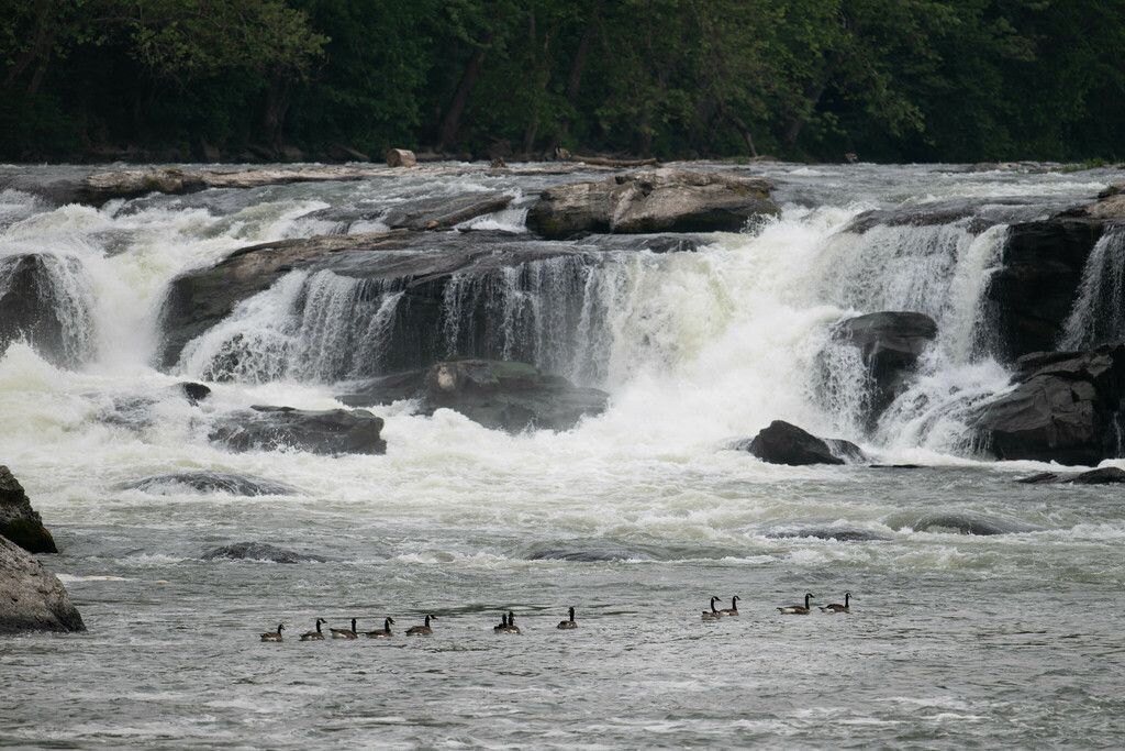
The Willamette Valley is a productive, people-filled landscape where gardens, parks, farms, and natural areas sit close together.
The Wyoming Basin is a cold-desert ecoregion where native plants are adapted to drought, wind, and temperature extremes.
Yukon Flats is a boreal interior lowland where water—rivers, wetlands, and seasonal flooding—strongly shapes habitats.
This region is defined by boreal mountain-and-plateau landscapes where growing conditions can be challenging but rewarding for hardy native plants.